

North Korea's Hwanggang Dam Discharge Confirmed: What to Check Now Along the Imjin River
이 포스팅은 쿠팡 파트너스 활동의 일환으로, 이에 따른 일정액의 수수료를 제공받습니다.
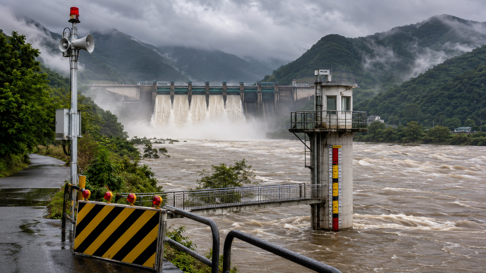
This article is based on the latest reports and official information available as of 2026-07-21 Korea Standard Time.
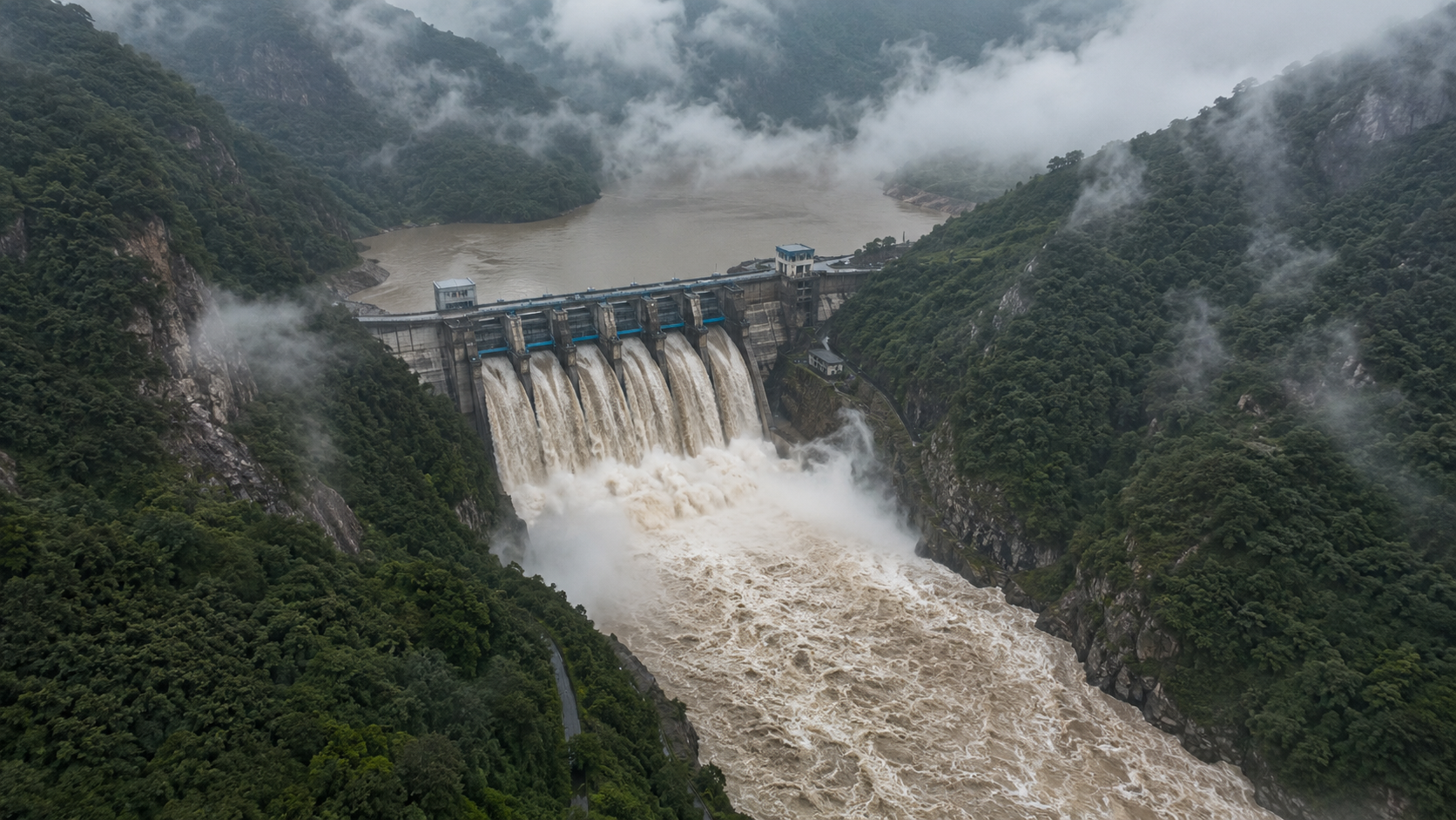
As of 2026-07-21 at 12:36, satellite imagery confirmed that North Korea had released water from Hwanggang Dam on the upper Imjin River.
The important thing now is not to assume the level of danger based solely on news of the discharge. Water levels downstream on the Imjin River may continue to change depending on rainfall in North Korea and northern Gyeonggi Province, the volume of water released, and the operation of Gunnam Dam.
If you are planning to go fishing, camping, walking, or taking photographs in Yeoncheon or Paju, check river levels and access restrictions before leaving.
Do not enter the riverbed or areas within the river channel simply because the water currently appears shallow.
What Was Confirmed on the Night of July 20
The Ministry of Climate, Energy and Environment announced that it had confirmed the discharge from Hwanggang Dam after analyzing satellite imagery captured at approximately 8:47 on the afternoon of July 20.
Heavy rain fell in North Korea from July 17 through 19, and additional rainfall was forecast for 20 and 21. This raised the possibility that the discharge was carried out to regulate the reservoir's water level.
Once again, North Korea provided no advance notification to South Korea. The government is responding by analyzing satellite imagery several times a day and monitoring changes in water levels downstream on the Imjin River.
Because the discharge volume and the time when the release will end have not been disclosed, it is impossible to conclude that the area will be safe from any particular time.
Where Does Water Released From Hwanggang Dam Flow?
Hwanggang Dam is located on the upper Imjin River in North Korea. Water released from the dam flows southward and may affect water levels at Pilseung Bridge in Yeoncheon County and operations at the Gunnam Flood Control Reservoir.
This is why searches for 'Pilseung Bridge water level' and 'Gunnam Dam' often increase when news of a Hwanggang Dam discharge emerges.
Pilseung Bridge is a major monitoring point in the northernmost section of the Imjin River. At this location, a water level of 1m is used as the threshold for evacuating people engaged in recreational activities along the river.
However, individuals should not assume they are safe simply because the reported water level is below 1m. Safety conditions also depend on the volume of water flowing downstream, the time it takes to arrive, and rainfall in surrounding tributaries.
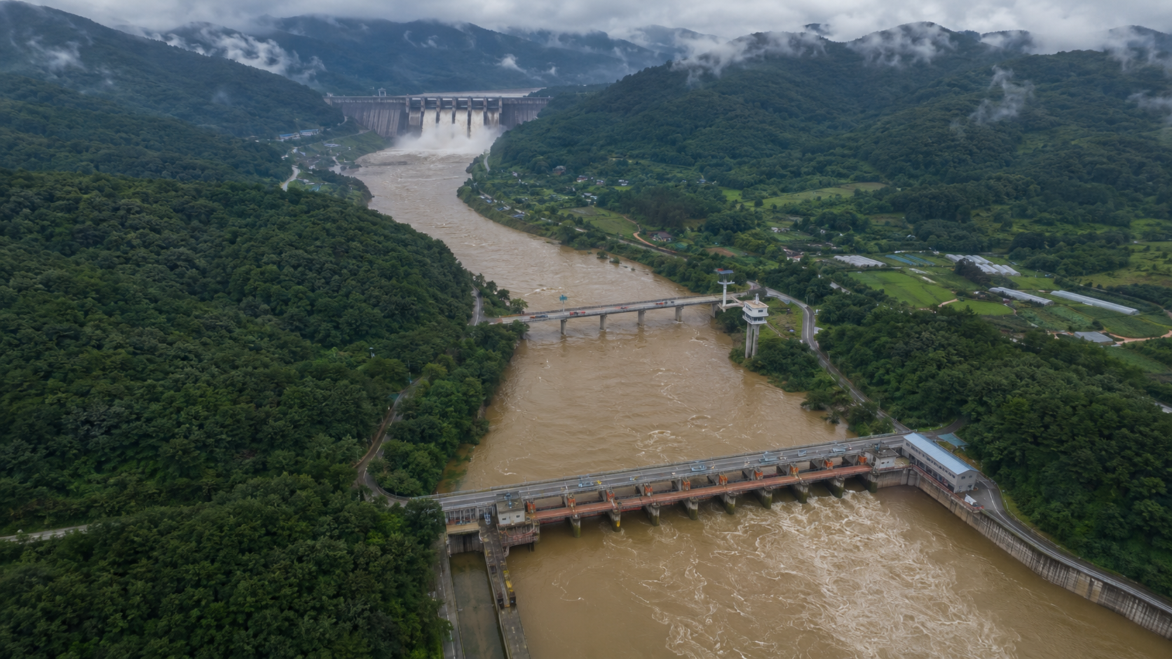
It may help to picture Hwanggang Dam, Pilseung Bridge, and Gunnam Dam arranged along a straight line on a map. Water originating upstream in North Korea moves through South Korean monitoring points and flood-control facilities before continuing downstream along the Imjin River.
Four Things to Check Separately Before Visiting
To assess current conditions around the Imjin River, it is safer to review several sources of information rather than relying on a single screen.
Check water levels at Imjin River monitoring stations, including Pilseung Bridge, through the Han River Flood Control Office.
Check access restriction notices issued by the relevant local governments, including Yeoncheon County and Paju City.
Check emergency text alerts and public safety advisories on your mobile phone.
Check short-term rainfall forecasts for northern Gyeonggi Province and areas near the North Korean border.
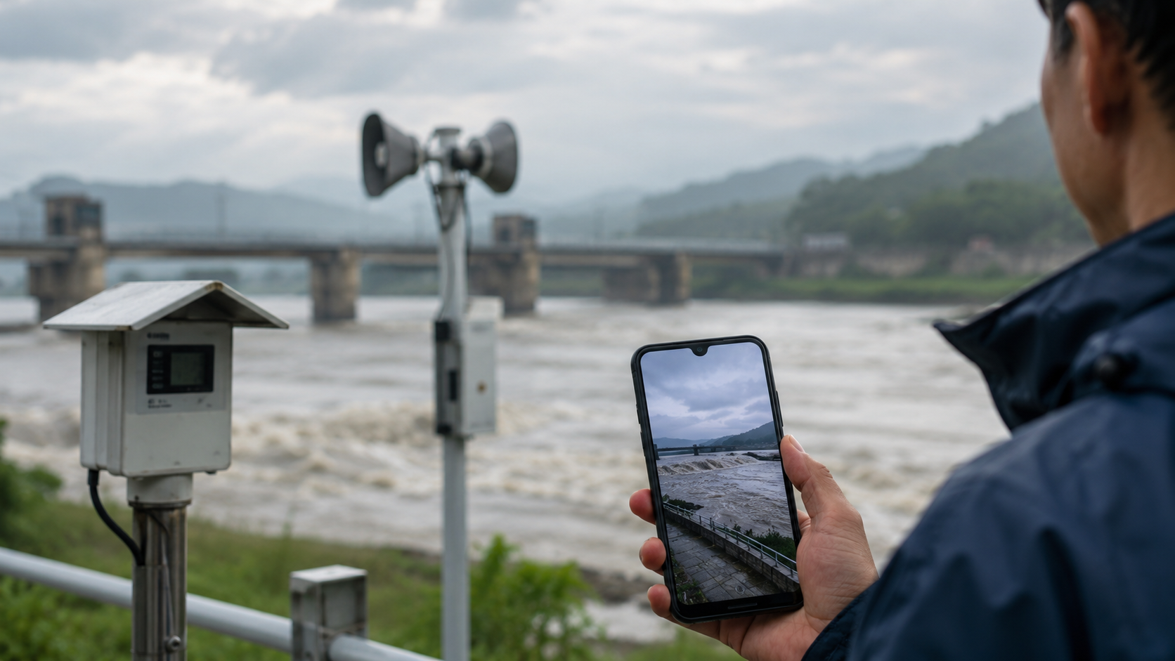
Displaying a river-level graph, emergency alerts, rainfall forecasts, and local government notices one after another on a smartphone makes it easier to compare current conditions.
Even if water levels are falling, follow on-site instructions if access restrictions remain in effect.
If You Are Planning to Fish, Camp, or Walk Along the River
Riverbanks can look dramatically different before and after water levels rise. Floodplains where people normally park their cars and shallow sections they usually cross on foot can become dangerous in a short time.
If you plan to visit the Imjin River area today, consider adjusting your plans according to the following precautions.
Do not enter riverside floodplains or fishing spots within the river channel.
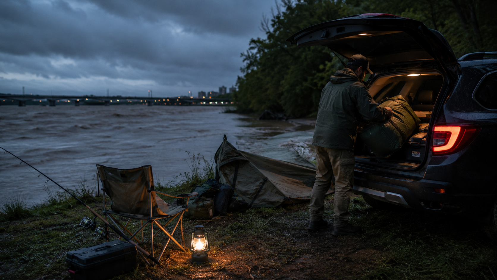
Do not park vehicles beneath bridges or in low-lying areas.
Choose another location for nighttime fishing or overnight camping in a vehicle beside the river.
Do not cross safety barriers or ignore no-entry signs.
If you receive an emergency alert while at the site, move to higher ground.
If you learn only after arriving that an upstream discharge has begun, do not remain at the site to pack up your equipment. Move to a safe location first.
A scene showing safety barriers installed at the entrance to a riverside walking path and vehicles leaving a floodplain for a higher road most clearly illustrates the actions people should take.
Why the Lack of Advance Notification Keeps Coming Up
After an unannounced discharge from North Korea's Hwanggang Dam in 2009 caused fatalities downstream on the Imjin River, North and South Korea agreed to provide notification before releasing water.
However, North Korea is reportedly no longer providing advance notification, with 2013 being the last year it did so. This is also why South Korean authorities continuously monitor satellite imagery and changes in water levels at Pilseung Bridge.
More than the discharge itself, the difficulty of knowing the volume and timing of water releases in advance complicates emergency responses in border areas.
What You Need to Check Right Now
This discharge does not necessarily mean that every section of the Imjin River is immediately dangerous. Conversely, a visibly low water level does not guarantee safety.
Around the Imjin River, real-time water levels, emergency alerts, and on-site access restrictions should take priority over trending search rankings.
In particular, if you are planning to fish or camp in Yeoncheon or Paju, it is advisable to check conditions twice: once immediately before departure and again after arriving at your destination.
Water levels and access restrictions may change by the time you read this article, so official guidance should always be your final reference.
이 포스팅은 쿠팡 파트너스 활동의 일환으로, 이에 따른 일정액의 수수료를 제공받습니다.